AT&T and Ericsson have shown a new use for ordinary cell towers. Their recent Arlington demo used commercial 5G sites to detect a drone. The drone never joined the network. No radar system or extra sensor hardware supported the test.
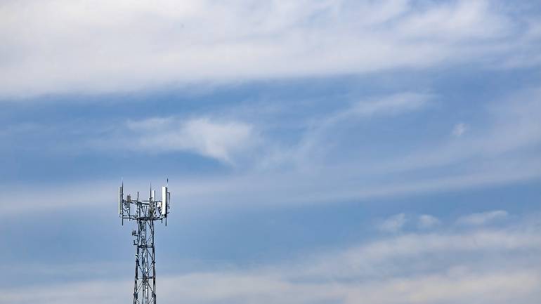
The companies used three existing cell sites around AT&T Stadium. Software analyzed signal reflections from those sites. Then AI helped turn those reflections into a live drone track. This approach follows work in 3GPP Release 19, known as ISAC. It means Integrated Sensing and Communication.
This idea matters because low-flying drones remain hard to monitor. Traditional radar often struggles near the ground. Buildings, trees, and terrain create clutter. Cell towers already sit in those same low-altitude areas. That makes them useful for another layer of airspace awareness.
During the demo, drones flew at 300 to 400 feet. The system tracked them at distances up to 6 kilometers. A dashboard compared the network track with drone telemetry. The two views reportedly aligned closely.
The strongest argument is economic. Operators already own the towers, radios, and spectrum. They can add sensing software without building radar networks. That could reduce deployment costs across wide areas. It also gives carriers a clearer enterprise angle than many past launches.
Still, expectations need restraint. Dell’Oro analyst Stefan Pongratz noted that, “it is true that they have not moved the needle much yet for the MNOs,” when discussing enterprise 5G opportunities. However, he sees a different structure here.
“The ability to leverage the existing macro grid and minimize the incremental capex completely changes the risk/reward profile and fits better with the CSP model,” Pongratz said.
He also framed the service in practical terms. “Basically, the goal is not to deliver the best sensing performance – the goal is to find the sweet spot that delivers the best ROI,” Pongratz said. A dedicated radar may see better. A cellular network may cover more ground cheaply.
AT&T is not presenting this as a finished product. Robert Soni described a gradual path. “We’ll offer a skateboard version of this, then we’ll offer a bicycle version of this, and then we’ll offer an automobile version of this,” he said.
Early customers will likely include federal agencies, first responders, and critical infrastructure operators. Airports, stadiums, utilities, and public safety teams may also show interest. These users need warning data more than consumer-style features.
Yet the biggest unanswered issue is classification. Detecting a reflection differs from identifying a drone. Birds, weather, and urban reflections may confuse AI models. The companies did not publish false alert rates. They also offered limited detail on bad-weather performance.
Dense city areas remain challenging. Signals bounce off buildings and lose clear paths. Fast-moving targets may also reduce reliability. As the original report noted, physics still sets firm limits.
Finally, this system only detects and tracks. It does not stop a drone by itself. Any jamming, capture, or interdiction needs legal authority. For carriers, the service is awareness rather than enforcement.
Even so, the concept is important. It turns network infrastructure into a sensing grid. If the data proves reliable, telecom operators may gain a new enterprise role. The skateboard version has arrived. The automobile still needs road testing.